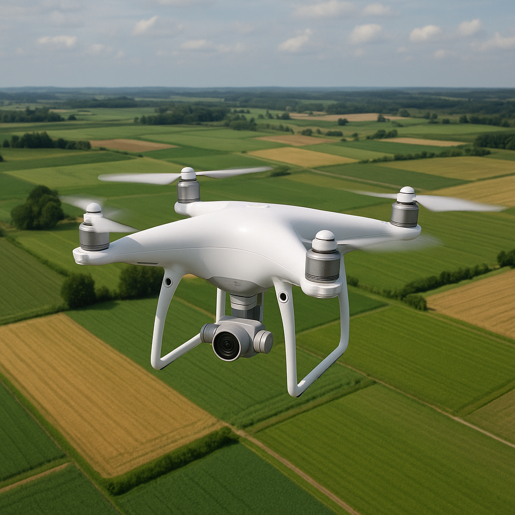
The integration of drone technology into agricultural land management represents a transformative shift in how growers monitor, analyze, and optimize their fields. This article explores the principles of mapping via unmanned aerial vehicles (UAVs), discusses practical applications in modern farming, and highlights both the advantages and challenges inherent in deploying these systems. By examining innovative tools and techniques, stakeholders can appreciate how aerial data capture drives precision farming, boosts yield potential, and fosters long-term sustainability.
Applications of Drone Mapping in Agriculture
Field Monitoring and Crop Health Assessment
One of the primary uses of drones is close-range remote sensing to evaluate crop vigor. Equipped with multispectral or thermal sensors, UAVs capture imagery revealing stress factors such as famine, disease outbreaks, or pest infestations. This visual data enables agronomists to pinpoint weak zones and prescribe targeted interventions rather than applying treatments uniformly. As a result, farmers can increase operational efficiency and reduce chemical usage, thus improving environmental outcomes.
Soil and Terrain Analysis
Mapping soil variability is crucial for resource allocation. By generating high-resolution digital elevation models (DEMs), drone systems produce accurate topographic maps that inform irrigation planning and erosion control. These maps reveal slopes, drainage patterns, and potential runoff areas. Integrating soil sampling data with aerial imagery allows agronomists to create nutrient management zones, optimizing fertilizer application and reducing waste.
Irrigation Management
Efficient water usage remains a critical issue in many regions. Drones equipped with thermal cameras can detect moisture stress in crops, indicating under- or over-irrigated areas. By analyzing the temperature differentials across the field, irrigation schedules can be adjusted to deliver water precisely where it is needed. This practice conserves water while supporting vigorous plant growth and consistent yield levels.
Benefits and Challenges of Drone-Based Land Management
Key Advantages
- Speed: UAVs can survey hundreds of acres in a fraction of the time required by ground-based crews.
- Cost-effectiveness: Reduced labor and machinery usage contribute to lower operational expenses.
- Accuracy: High-resolution imagery and GPS-enabled data collection ensure precise location-based insights.
- Real-time data: Near-instantaneous access to field conditions allows for swift decision-making.
- Scalability: Systems can be deployed on small family farms or expansive commercial operations with minimal adjustments.
Common Challenges
Despite numerous benefits, certain obstacles can hinder successful deployment. Regulatory frameworks governing UAV flights vary by jurisdiction and may limit altitude, flight paths, or data transmission. Technical expertise is required to operate drones effectively and interpret complex datasets. Weather conditions, battery life, and payload capacity can restrict mission duration and data coverage. Additionally, integrating drone-derived data into existing farm management software demands robust analysis pipelines and interoperability standards.
Technological Innovations Driving Drone Mapping
Advanced Sensor Technologies
Drones now host a variety of payloads, including multispectral, hyperspectral, LiDAR, and thermal sensors. Hyperspectral imaging collects dozens of narrow spectral bands, enabling detection of subtle physiological changes in plants before symptoms become visible to the human eye. LiDAR systems emit laser pulses to measure distances precisely, generating detailed three-dimensional representations of the field surface, which is invaluable for drainage design and biomass estimation.
Data Processing and Artificial Intelligence
Collecting images is only the first step; extracting meaningful insights requires sophisticated software platforms. Machine learning algorithms can classify crop species, detect anomalies, and forecast yield projections based on historical patterns. Automated workflows transform raw imagery into actionable maps featuring vegetation indices such as NDVI (Normalized Difference Vegetation Index) or GCI (Green Chlorophyll Index). These indices serve as proxies for plant health, facilitating early detection of nutrient deficiencies or water stress.
Integration with Farm Management Systems
To maximize value, drone data should mesh seamlessly with Geographic Information Systems (GIS) and precision agriculture platforms. Cloud-based portals enable collaborative decision-making, allowing agronomists, farm managers, and service providers to access synchronized datasets. Real-time dashboards display heatmaps and trendlines, supporting dynamic prescription maps for variable-rate applications. APIs and data standards ensure compatibility across different hardware and software vendors, reducing friction in digital agriculture workflows.
Future Perspectives in Drone-Assisted Agriculture
Autonomous Drone Missions
Advances in autonomy aim to minimize human intervention. Swarm technologies will coordinate fleets of drones to cover vast areas efficiently, adjusting flight patterns in response to detected anomalies. Onboarding and flight planning will become increasingly intuitive, employing visual programming interfaces where users draw survey boundaries and set parameters without deep technical knowledge.
Enhanced Sensor Fusion
Future payloads will combine multiple sensing modalities into single compact units, enabling simultaneous capture of optical, thermal, and LiDAR data. This fusion enhances situational awareness, as overlapping datasets provide a more comprehensive view of plant physiology and environmental conditions. Real-time onboard processing will generate preliminary analysis reports, allowing farmers to act immediately without waiting for cloud uploads.
Regulatory Evolution and Data Governance
As adoption expands, regulators will refine frameworks to balance safety, privacy, and innovation. Standardized flight corridors and digital asset registries will facilitate trusted drone operations. Data governance policies will ensure farmer ownership of collected information and promote ethical use, while marketplaces for aerial data will emerge, enabling services like yield forecasting, carbon sequestration monitoring, and insurance risk assessment.
Contribution to Global Food Security
In regions facing resource scarcity and climate volatility, drone-enabled mapping can democratize access to precision agriculture. Smallholder farmers can leverage affordable UAV services to improve productivity and resilience, reducing vulnerability to crop failures. By optimizing inputs and safeguarding soil health, this technology contributes to sustainable intensification—producing more with fewer resources and supporting long-term food security.