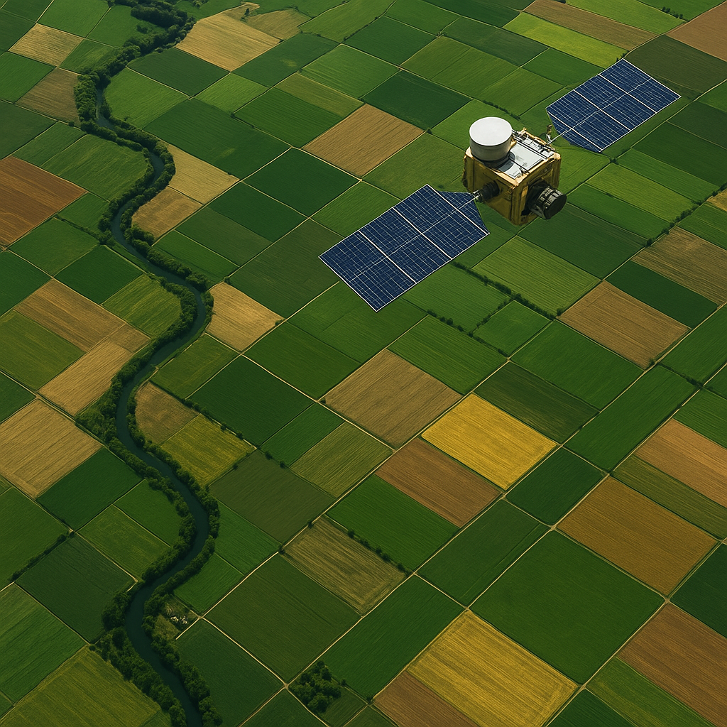
Satellite imaging has revolutionized modern farming by offering a detailed, bird’s-eye perspective of fields across the globe. Through the fusion of high-resolution imagery, advanced data analytics, and sophisticated algorithms, growers can now make informed decisions that drive significant improvements in crop performance. By harnessing the power of remote sensing and integrating it with on-the-ground observations, agricultural stakeholders gain deeper insights into plant vigor, water stress, nutrient deficiencies, and disease outbreaks long before they become visible to the naked eye. This synergy between technology and agronomy paves the way for more accurate predictive modeling, optimized resource allocation, and ultimately higher yield potential per hectare.
Data Acquisition and Processing
At the core of any successful satellite-based approach lies the procurement of high-quality imagery. Modern satellite constellations, including both government-operated and commercial platforms, offer a range of spectral bands—from visible and near-infrared to shortwave infrared—enabling multispectral and hyperspectral observations. The increased revisit frequency of these platforms ensures that farmers and agronomists receive near-real-time updates on crop conditions, reducing response times to emerging threats. Alongside optical sensors, synthetic aperture radar (SAR) instruments capture data regardless of cloud cover or daylight, offering uninterrupted monitoring capabilities.
Data Sources for Satellite Imagery
Key data providers include public agencies such as NASA, ESA, and private firms like Planet Labs and Maxar Technologies. Each source delivers unique trade-offs between spatial resolution, temporal frequency, and cost. For instance, medium-resolution satellites may revisit fields daily, while ultra-high-resolution imagery might be available once a week but at a premium price. Farmers can choose platforms that align with their budget and monitoring requirements. Additionally, drone-based aerial surveys complement satellite data by capturing extremely fine details over targeted areas, bridging the gap between broad coverage and precise field-level insights.
Data Preprocessing Techniques
Before analysis, raw satellite data must undergo preprocessing steps to ensure accuracy and consistency. Atmospheric correction algorithms remove distortions caused by aerosols and water vapor, converting raw digital numbers into surface reflectance values. Geometric correction and orthorectification align images to accurate map coordinates, facilitating comparison across dates. Radiometric calibration standardizes brightness levels across scenes. Data fusion techniques can merge information from multiple sensors—optical and radar—to produce enriched datasets. By meticulously cleaning and harmonizing this information, agronomists establish a robust foundation for downstream analytics and precision agriculture applications.
Analytical Techniques for Yield Prediction
Translating vast amounts of satellite data into actionable yield predictions demands advanced analytical workflows. Statistical models, machine learning algorithms, and deep learning networks interpret temporal and spectral patterns to forecast crop performance. These models ingest historical yield records, soil maps, weather variables, and vegetation indicators to identify complex relationships that influence growth trajectories. With each growing season, the models become more refined, leveraging new ground truth data to improve accuracy. The result is a dynamic, data-driven decision support system that empowers growers to anticipate output weeks or months ahead of harvest.
Machine Learning and Predictive Modeling
Supervised learning techniques such as random forests, gradient boosting machines, and neural networks have proven highly effective in yield estimation tasks. These algorithms detect nonlinear interactions among variables like soil moisture, temperature, and spectral indices. By training on labeled datasets—where actual yields are known—models learn to predict outcomes for unseen fields. Cross-validation and hyperparameter tuning optimize model performance, while feature importance analyses reveal which variables most strongly influence yield. This transparency helps agronomists focus on critical drivers of productivity, such as nutrient availability or irrigation efficiency.
Vegetation Indices and Spectral Analysis
Vegetation indices condense spectral information into single metrics that correlate with plant health. The Normalized Difference Vegetation Index (NDVI), for example, leverages red and near-infrared bands to quantify chlorophyll activity. Other indices like the Enhanced Vegetation Index (EVI) and Soil-Adjusted Vegetation Index (SAVI) address canopy saturation and soil background effects. Beyond vegetation indices, spectral unmixing techniques decompose pixel reflectance into constituent materials, isolating crop signatures from weeds or bare soil. These metrics feed directly into predictive models, providing a sensitive gauge of biomass accumulation and photosynthetic rates.
Temporal Analysis and Time Series
Time series analysis captures the evolution of crop growth stages—from germination and canopy closure to senescence. By monitoring vegetation index trends over the season, analysts identify key phenological milestones. Combining this temporal data with weather forecasts enables dynamic yield projections that adjust as conditions change. For example, a sudden drought spell in mid-season can be detected through a dip in spectral reflectance, prompting an immediate model update. This adaptive approach ensures that yield forecasts remain reflective of real-world circumstances, boosting their reliability for planning harvest logistics and market strategies.
Applications and Benefits
The integration of satellite-derived insights into farming operations unlocks a wealth of benefits. Growers can optimize input application—such as fertilizers, pesticides, and irrigation—precisely where and when they are needed, minimizing waste and environmental impact. Resource management becomes more sustainable, driving down production costs and reducing carbon footprints. Agricultural insurers leverage these predictions to design more accurate risk assessments and parametric insurance products that automatically trigger payments based on defined yield thresholds. Commodity traders incorporate forecasts into supply chain planning, smoothing market volatility through better-aligned demand and supply expectations.
- Enhanced early warning for pest outbreaks and disease infestations
- Improved financial planning through reliable yield estimates
- Reduced water usage and input costs via site-specific management
- Better compliance with sustainability regulations and certifications
- Increased farm profitability through optimized harvest timing
Challenges and Future Directions
Despite its promise, satellite-based yield prediction faces several obstacles. Cloud cover can obscure optical imagery during critical growth phases, though radar sensors mitigate this issue. Data latency and processing delays may hinder timely decision-making. Discrepancies in data quality across providers complicate model standardization. Smallholder farmers in developing regions often lack access to affordable imagery or the technical expertise needed to interpret results. Addressing these challenges requires collaborative efforts between technology firms, research institutions, and agricultural extension services.
Data Limitations and Accuracy
Yield models depend on the accuracy of input data. Inconsistencies in soil maps, outdated cadastral boundaries, and limited ground truth sampling can degrade performance. Calibration against local conditions is essential to minimize biases. Advances in onboard sensor calibration and automated quality control workflows promise to enhance the fidelity of satellite inputs. Additionally, novel constellations equipped with hyperspectral sensors will offer finer spectral resolution, enabling the detection of subtle physiological stress signals earlier than ever before.
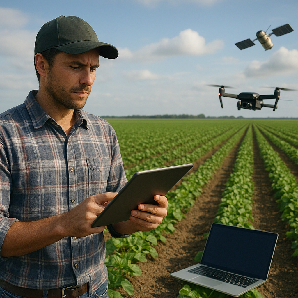
Integration with IoT and Edge Computing
The synergy of satellite imaging with IoT networks—such as in-field moisture probes, weather stations, and autonomous drones—will create a holistic view of crop ecosystems. Edge computing devices can preprocess data onsite, delivering near-instant insights without relying exclusively on cloud connectivity. Farmers equipped with rugged tablets or smartphones can visualize integrated dashboards, overlaying satellite layers with sensor metrics in real time. This convergence of technologies will democratize access to advanced analytics, empowering even small-scale operations.
Policy and Adoption Barriers
Regulatory frameworks governing data privacy, cross-border image acquisition, and spectral licensing can slow progress. Public–private partnerships are crucial for developing open-access platforms that lower entry barriers for underserved communities. Training programs and user-friendly interfaces will build capacity among agronomists and farm managers. As the value of satellite-driven insights becomes more widely recognized, we can expect accelerated adoption and continuous innovation, ultimately leading to more resilient, productive, and sustainable agriculture systems worldwide.