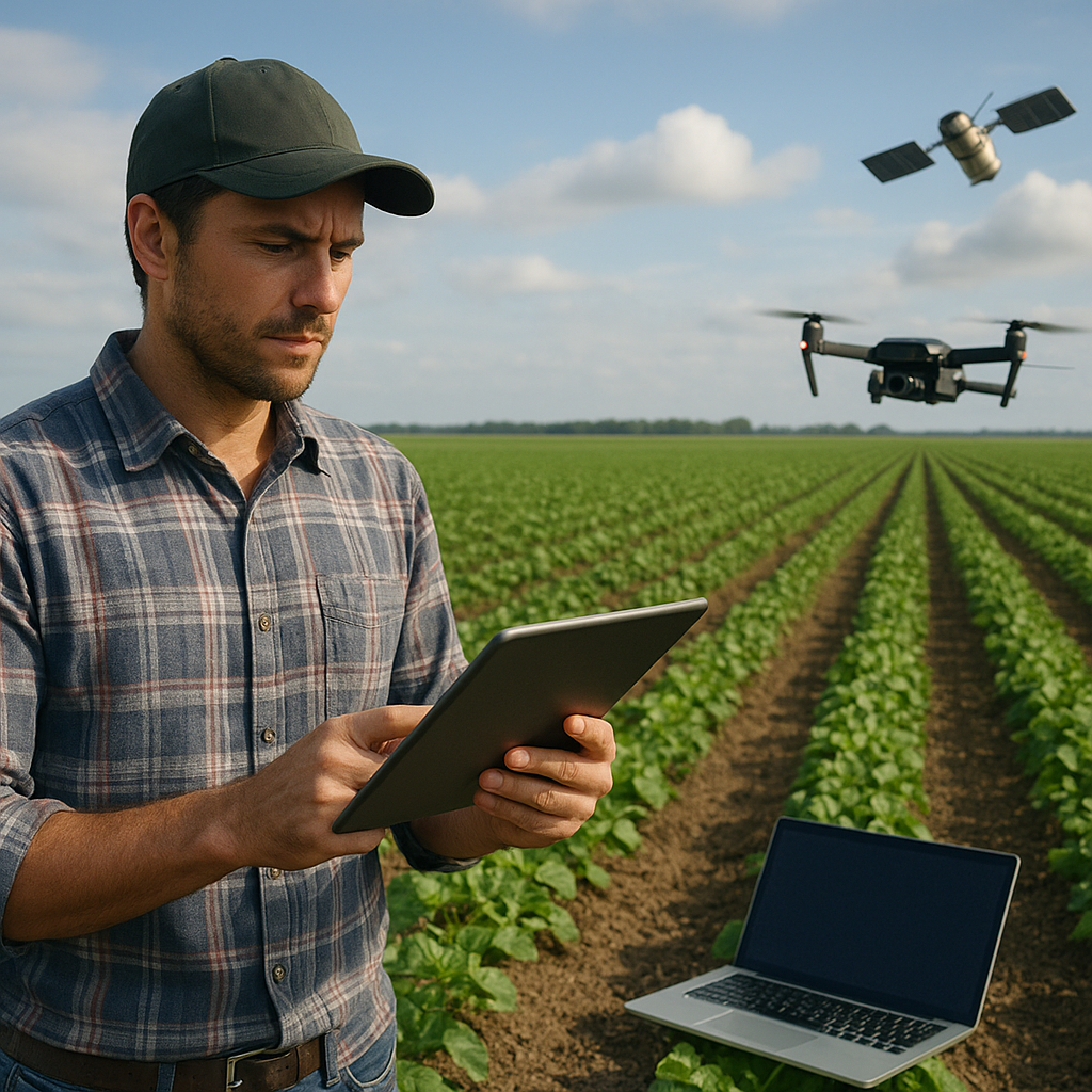
Advancements in remote sensing have revolutionized modern agriculture by enabling farmers to make data-driven decisions in real time. From capturing field-scale images to processing sensor data with sophisticated algorithms, growers can now optimize resource allocation, monitor plant vigor, and respond rapidly to emerging challenges. This article explores key technologies, integration strategies, and practical applications of remote sensing tools in precision farming, illuminating how the fusion of aerial imagery, ground-based devices, and cloud platforms shapes the future of sustainable food production.
Understanding Remote Sensing Technologies
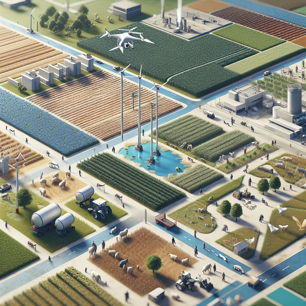
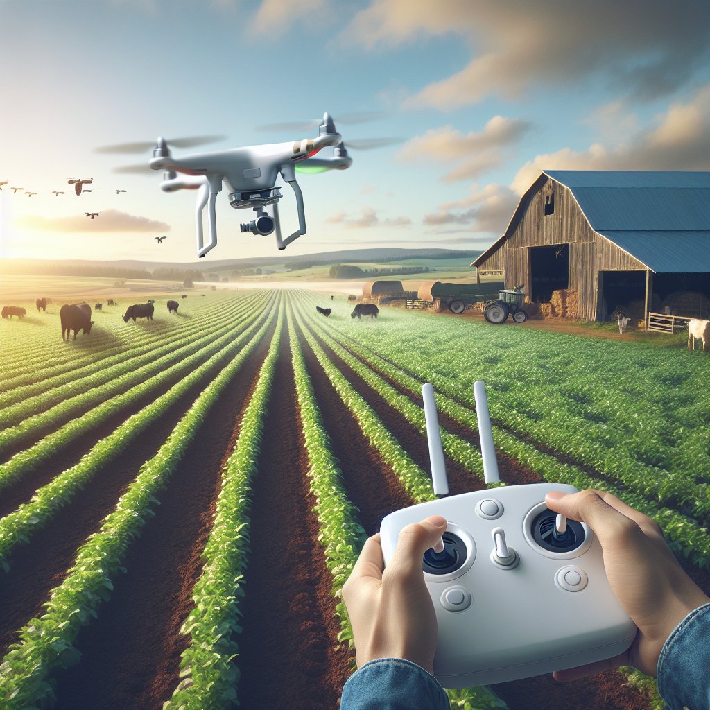
Remote sensing encompasses a diverse array of platforms and instruments designed to collect information about the Earth’s surface without direct contact. High-resolution satellite imagery offers broad coverage, capturing large agricultural regions to support seasonal planning and trend analysis. Conversely, drones equipped with multispectral cameras provide ultra-fine spatial detail, ideal for scouting individual fields. Ground-based sensors complement aerial systems by measuring soil moisture, temperature, and nutrient levels at root depth. Combining these sources ensures a comprehensive view of crop status, enabling precision interventions at the optimal moment.
Key imaging techniques include:
- Visible light photography, for straightforward mapping of crop emergence and canopy cover.
- Near-infrared (NIR) sensing, which highlights plant vigor through reflectance differences.
- Normalized Difference Vegetation Index (NDVI), calculated from red and NIR bands to quantify vegetation health.
- Thermal infrared imaging, monitoring plant water stress and microclimate variations across a field.
Integrating Data into Real-Time Farm Management
Raw data streams from satellites, drones, and in-field sensors require processing pipelines capable of translating images and readings into actionable insights. Cloud-based platforms ingest georeferenced files, run machine-learning models, and output intuitive dashboards for agronomists and operators. Automated alerts can trigger when stress thresholds are exceeded, prompting tasks like targeted spraying, variable-rate fertilization, or adjustments to irrigation schedules.
Data Fusion and Decision Support
By fusing multispectral imagery with soil profiles and weather forecasts, advanced analytics modules generate prescription maps that align inputs with intra-field variability. Variable-rate application machinery then executes precise fertilizer or pesticide placement, minimizing waste and environmental impact. Real-time telemetry allows farm managers to monitor equipment performance and resource uptake, ensuring operations adapt dynamically to changing field conditions.
Case Studies and Practical Applications
Successful implementations of remote sensing tools are diverse, demonstrating improvements in efficiency, productivity, and sustainability across various cropping systems. The following examples illustrate how data-driven workflows can transform farm management:
- Rice cultivation in Southeast Asia: Frequent satellite passes combined with localized drone flights enabled farmers to optimize water use, reduce methane emissions, and boost yield by 15%.
- Corn production in the Midwest: Soil moisture sensors integrated with weather forecast APIs supported precision irrigation, cutting water consumption by 25% while maintaining average crop health.
- Vineyards in Southern Europe: High-resolution NDVI mapping identified early signs of fungal infection, allowing for site-specific fungicide application and reducing chemical input by 40%.
Real-Time Monitoring in Specialty Crops
Greenhouse operators leverage continuous multispectral imaging to track canopy development and light interception. Instant feedback loops adjust supplemental lighting, ventilation, and nutrient delivery, maximizing photosynthetic efficiency and enabling consistent year-round production of high-value vegetables and ornamentals.
Future Trends and Innovations
Ongoing research and commercial development promise to expand the horizons of agricultural remote sensing. Enhanced satellite constellations with daily revisit cycles will offer near real-time global coverage. Swarms of autonomous drones may patrol fields continuously, feeding ultra-high-resolution mosaics into AI-driven platforms for minute-by-minute analysis. Advances in hyperspectral sensors could reveal nutrient deficiencies, pest outbreaks, and soil chemistry variations before visible symptoms appear, empowering farmers to preempt issues rather than react.
Toward Predictive and Prescriptive Farming
The integration of deep learning with remote-sensing archives will unlock robust models for yield prediction that account for weather anomalies, soil heterogeneity, and crop variety traits. Prescriptive algorithms will suggest optimal planting dates, rotation schemes, and harvest windows, fostering resilience against climate volatility and market fluctuations.
Decentralized Data Ecosystems
Blockchain-based platforms may emerge to facilitate secure, transparent sharing of sensor and imagery data across supply chains. Producers, processors, and retailers will collaborate through distributed ledgers, ensuring traceability, verifying sustainability claims, and enhancing consumer trust in farm-to-table products.