Satellite technology has become a cornerstone for modern agriculture, offering farmers unprecedented insight into their fields. By harnessing high-resolution imagery and advanced analytics, growers can monitor crop performance, optimize resource use, and make data-driven decisions. This article explores how satellites empower farmers to map land, assess soil conditions, and unlock the full potential of precision farming.
Understanding Satellite Technology in Agriculture
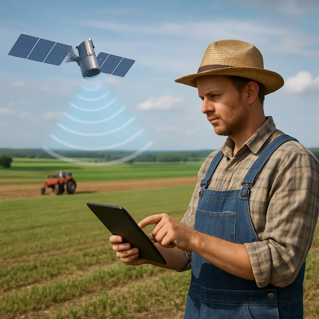
Satellites orbiting Earth capture detailed observations that benefit agricultural practices around the globe. Through remote sensing, these platforms record data across multiple spectral bands, revealing variations in vegetation cover, moisture levels, and soil characteristics. As a result, farmers can detect subtle changes that are invisible to the naked eye. This section outlines the fundamental components of satellite-based monitoring.
- Satellite Types: From commercial to government missions, platforms such as Landsat, Sentinel, and PlanetScope offer varied resolutions and revisit frequencies.
- Spatial Resolution: Defines the smallest object detectable in an image, impacting the level of detail in field analysis.
- Temporal Resolution: Indicates how often a satellite revisits the same location, crucial for tracking crop growth and weather events.
- Spectral Resolution: Refers to the number and width of wavelengths recorded, influencing the ability to assess crop health and stress factors.
- Georeferencing: The process of aligning satellite imagery to real-world coordinates, enabling accurate mapping and overlay with other datasets.
Mapping Fields with Remote Sensing
Creating precise land maps empowers farmers to implement targeted interventions and reduce waste. By combining satellite imagery with Geographic Information Systems (GIS), users generate detailed field boundaries, irrigation zones, and management sectors. This mapping approach supports precision agriculture by tailoring practices to field variability.
Spectral Indices for Vegetation Analysis
Vegetation indices, such as the Normalized Difference Vegetation Index (NDVI), extract key metrics from satellite data. NDVI correlates near-infrared and red light reflectance to estimate biomass and vigor. Other indices include:
- Enhanced Vegetation Index (EVI)
- Normalized Difference Water Index (NDWI)
- Soil Adjusted Vegetation Index (SAVI)
By applying these indices, farmers can identify underperforming areas and schedule interventions like fertilization or pest control precisely where needed.
Generating Management Zones
Management zones partition a field into areas with similar characteristics, such as soil type, topography, and historical yields. This segmentation allows for:
- Variable Rate Application (VRA) of seeds, fertilizers, and pesticides
- Targeted irrigation scheduling based on soil moisture patterns
- Efficient labor allocation and machinery deployment
Advanced software platforms ingest satellite imagery and sensor data to delineate these zones automatically, reducing the need for extensive manual surveying.
Data Interpretation and Decision Making
Raw satellite data alone is insufficient until it is processed into actionable insights. Through a combination of algorithms, machine learning, and agronomic models, farmers convert imagery into clear recommendations for the field.
Cloud Computing and Big Data
Cloud-based platforms offer scalable processing power to analyze terabytes of satellite observations. Farmers and agronomists can:
- Run time-series analyses to monitor crop development stages
- Compare current season imagery against historical baselines
- Forecast yields using predictive models that integrate weather and remote sensing variables
These tools enable near-real-time assessments, allowing quick responses to emerging issues such as drought, disease outbreaks, or nutrient deficiencies.
Integrating Ground Truth Measurements
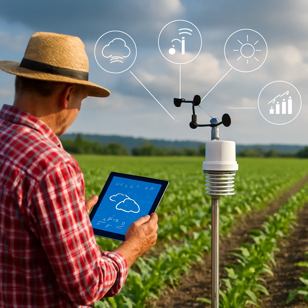
To validate satellite-derived metrics, on-site sampling and sensor networks provide yield prediction calibration. Smartphones, drones, and IoT devices collect data on plant height, chlorophyll content, and soil composition. When combined with satellite inputs, this fusion enhances accuracy and confidence in recommendations.
Challenges and Future Prospects
Despite its advantages, satellite-based land mapping confronts several challenges that researchers and industry stakeholders are eager to address.
- Cloud Cover and Atmospheric Distortion: Persistent clouds and aerosols can obstruct optical sensors, necessitating complementary data sources like radar imagery.
- Data Accessibility and Cost: High-resolution data often comes with a premium price, limiting adoption by small-scale farmers in developing regions.
- Technical Expertise: Implementing and interpreting satellite products requires training in GIS, image processing, and agronomy, creating a skills gap in some rural communities.
Emerging Technologies
Ongoing innovations aim to overcome these obstacles and expand the benefits of satellite mapping:
- Miniaturized satellites (CubeSats) providing affordable, high-frequency coverage.
- Artificial Intelligence (AI) models for automated anomaly detection and stress diagnosis.
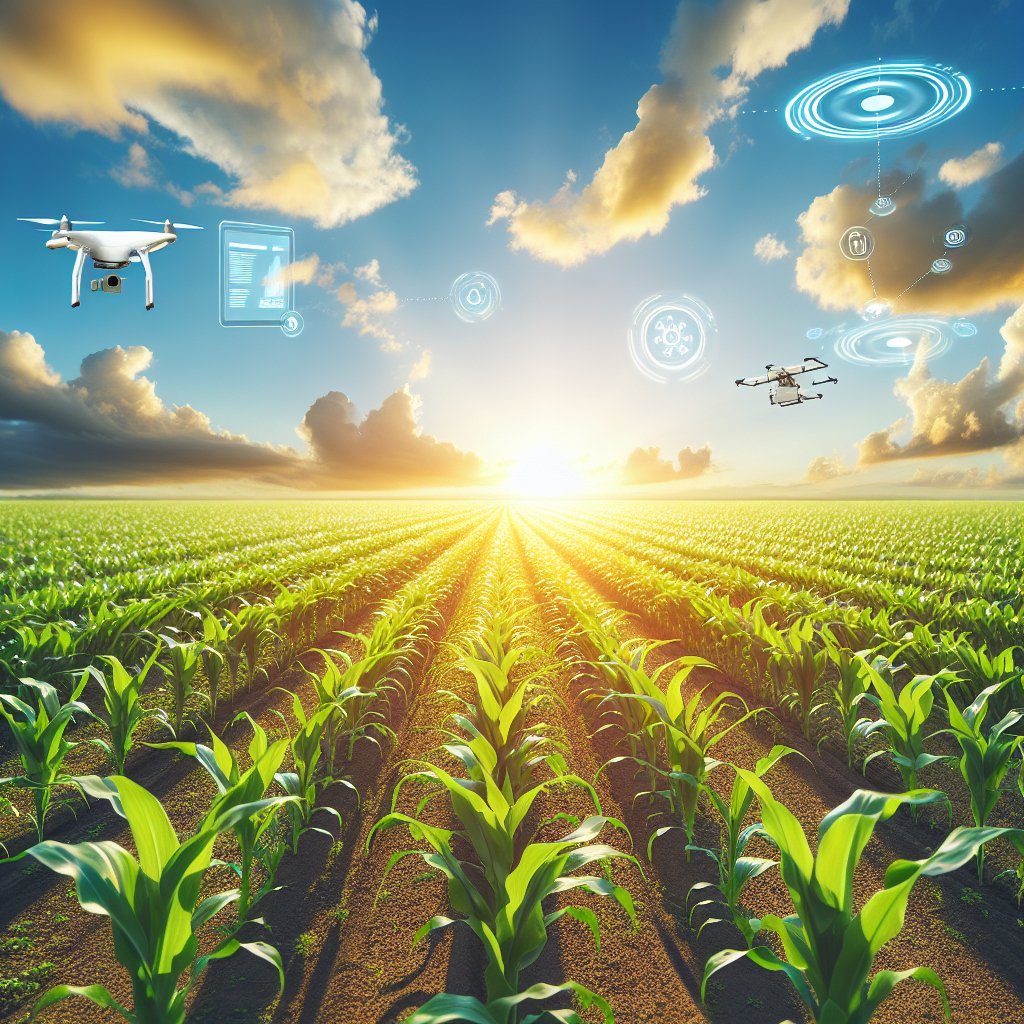
- Integration with unmanned aerial vehicles (UAVs) for hyper-local, high-resolution surveys.
As the convergence of satellite sensors, data analytics, and on-the-ground measurements accelerates, the agricultural sector stands on the brink of a new era. Farmers who embrace these tools will be better equipped to boost productivity, conserve resources, and safeguard food security worldwide.